
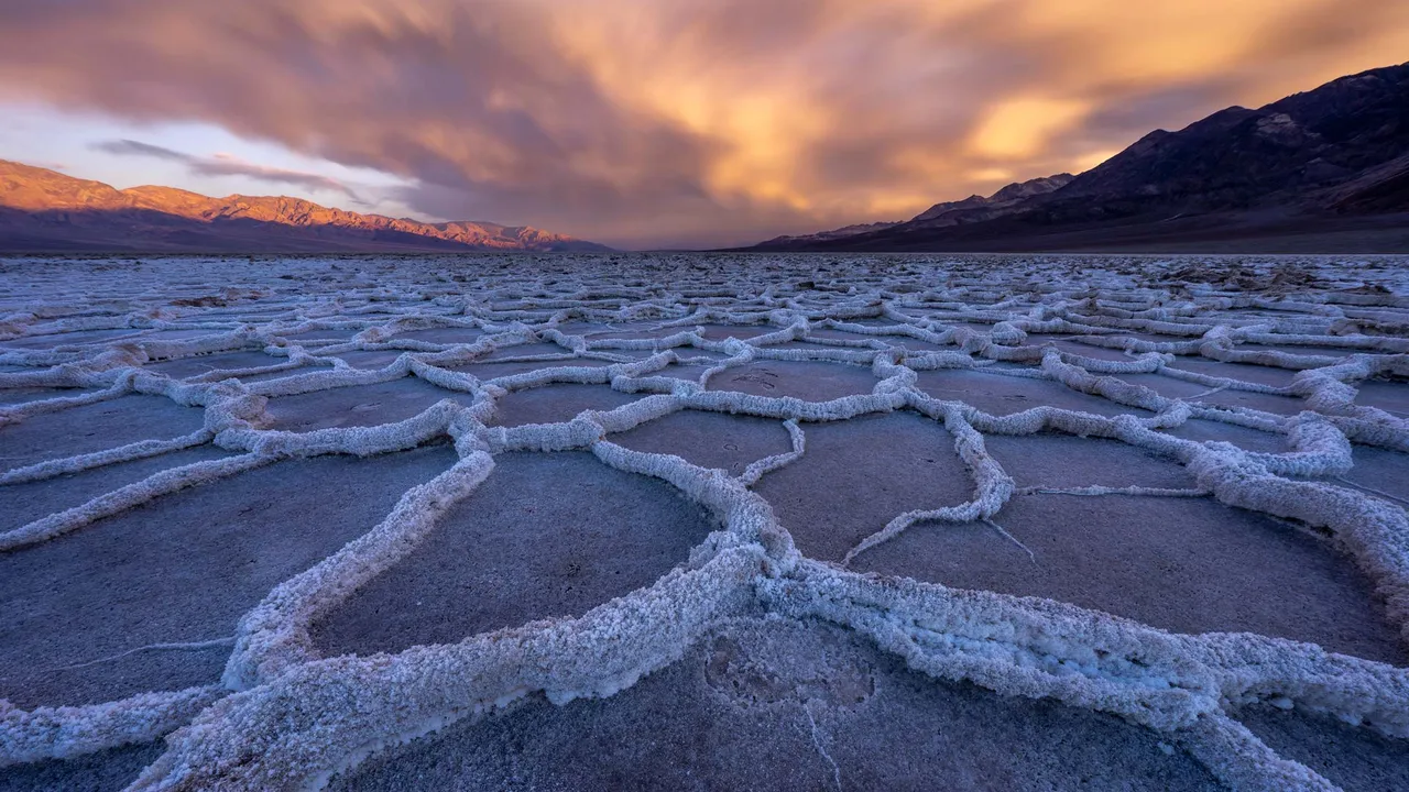
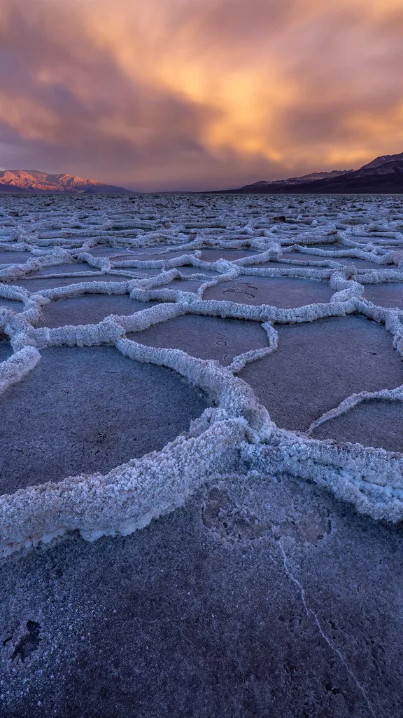
Salt flats in Badwater Basin, Death Valley National Park, California, USA (© Jim Patterson/TANDEM Stills + Motion)
Death Valley National Park challenges first impressions. Spanning more than 1.34 million hectares across California and Nevada in the United States, it is the largest national park in the contiguous United States. Across this vast expanse, salt flats, volcanic hills, sweeping sand dunes and distant snowcapped peaks create a landscape shaped by time and extremes. From the soaring heights of Telescope Peak, which rises over 3,300 metres above the desert floor, to the depths of Badwater Basin, 86 metres below sea level, the park is a study in contrasts.
Rare rainstorms can trigger brief bursts of wildflowers across parts of the valley, while hidden oases sustain wildlife and more than 1,000 plant species thrive against the odds. At Badwater Basin, pictured here, the land sinks to its lowest point in North America. Its blinding white salt flats stretch to the horizon, fractured into geometric patterns that make each step feel surreal. Long before it earned its foreboding name in 1849, the Timbisha Shoshone people called this valley home. Designated a national monument in 1933 and upgraded to national park status in 1994, it is now carefully protected for future generations.