
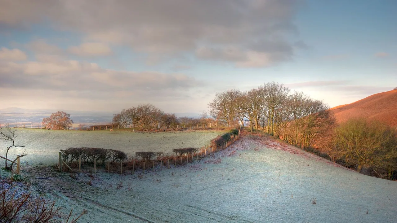
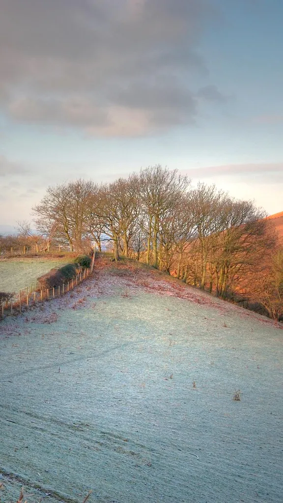
Vale of Clwyd, Wales (© Valerie Blencowe/Getty Images)
The Vale of Clwyd lies between the Clwydian hills and the north Wales coast, forming a wide, fertile valley shaped by centuries of human use. Its flat valley floor and rich soils made it ideal for farming, drawing activity here from prehistoric times. Roman routes later crossed the valley, and by the medieval period, agriculture and market towns had become firmly established. Rather than being repeatedly reshaped, the landscape evolved around cultivation, leaving behind a countryside still defined by open fields, rural settlements and long-standing routes through the land.
What gives the Vale of Clwyd its character is continuity. Farming and local trade sustained communities here over long periods, allowing patterns of land use to change gradually rather than be replaced. While other parts of Wales were transformed by industry, this valley remained closely tied to rural life. Its history is not announced by monuments or dramatic landmarks, but carried quietly in field boundaries, road layouts and town forms. Together, these features show how everyday use of the land shaped the Vale of Clwyd over time, creating a landscape defined as much by persistence as by place.